
The ancient structure known as Truong Luy, or the "Long Wall," stretches roughly 130 kilometres across the central provinces of Vietnam, from the Chabong district in the former province of Quang Ngai to the Anlao district in the former province of Binh Dinh. Because of its scale, it is sometimes compared to the Great Wall of China, although the two differ in their construction and purpose.
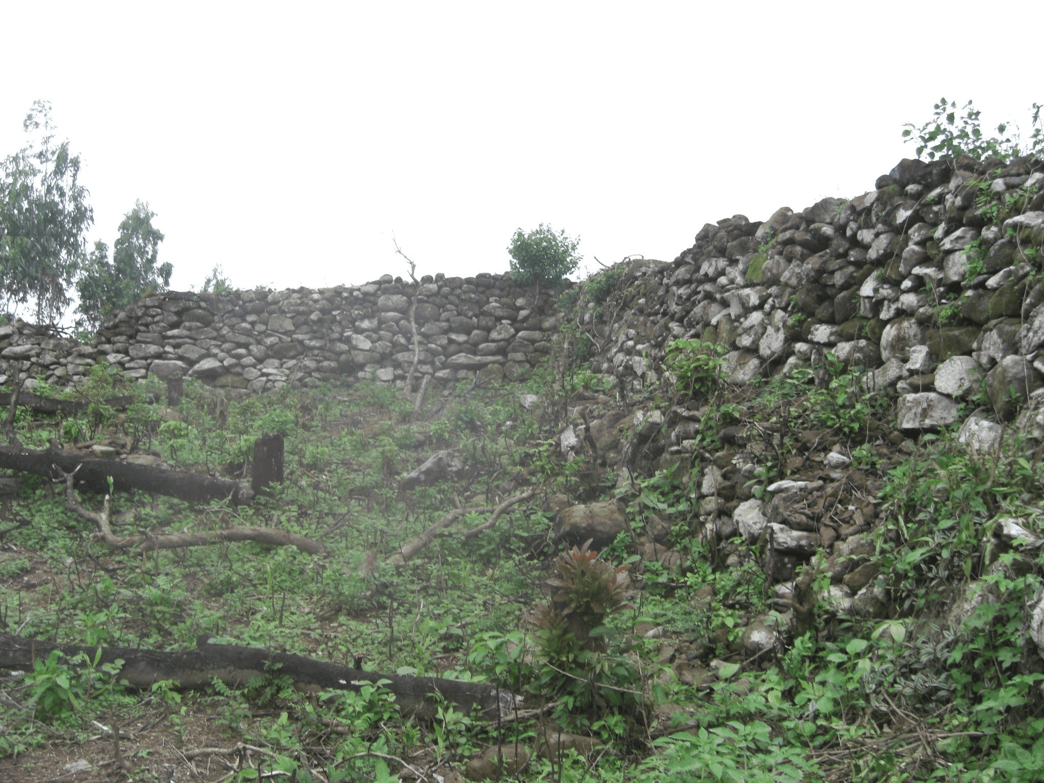
According to official chronicles, such as the "Veritable Records of the Great Nam," the wall was built in 1819 on the orders of Emperor Gia Long. However, archaeological finds, including fragments of pottery from different periods, indicate that fortifications existed on this site earlier. The historian Phan Huy Le suggested that the first sections of the wall may have appeared as early as the seventeenth century, and that under the Nguyen dynasty they were merely expanded and reinforced.
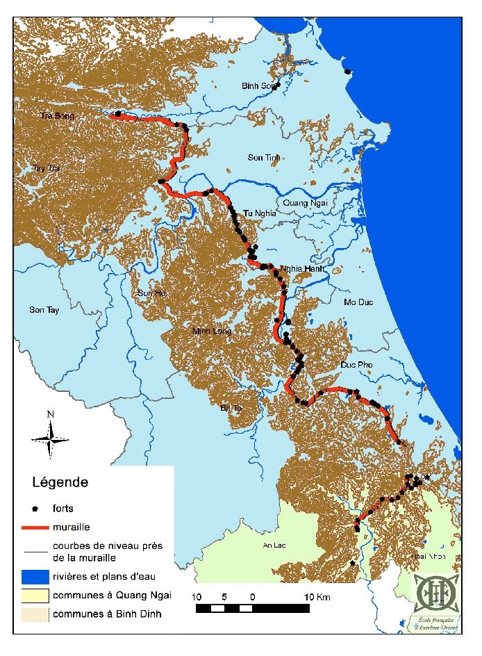
In 2005–2010, the French School of the Far East, together with the Vietnam Institute of Archaeology, carried out a large-scale study of the wall. In 2011, the Truong Luy complex was granted the status of a national historical and cultural monument.
The builders used local materials: in some sections the wall is built of stone, in others it is formed of earth, and at times the earthen embankment was reinforced with stone masonry. In certain places the wall reached a height of four metres, with a base width of six metres. Researchers believe that representatives of various peoples took part in its construction, including the Kinh (the Vietnamese majority) and the Hre, who are known for their skill in stone masonry.
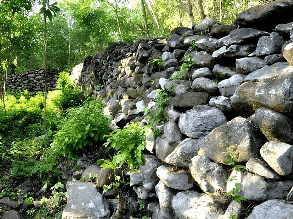
The wall was part of a more complex system. Along it stood more than one hundred small forts, or "bao," as they are called in this region, where garrisons were stationed. Archaeologists have identified traces of seventy-one such fortifications. An ancient road also ran alongside the wall, which may have been part of an old north–south route used when travel across the lowlands was hampered by rivers.
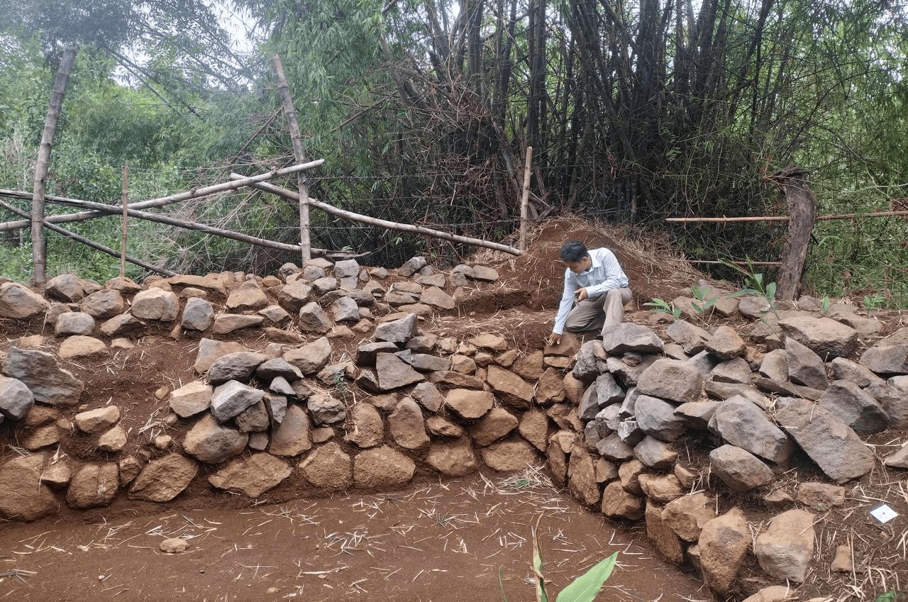
Beyond its military function, the wall played an important economic role. It made it possible to control trade between the inhabitants of the coastal plains and the mountain regions. Salt was carried from the coast into the mountains, while cinnamon, rice and other forest products were supplied from there to the lowlands. The forts along the wall served as checkpoints, where duties could be collected and the safety of trade routes ensured. Excavations in the Godinh area of Chabong district have confirmed that a busy trading post existed here in the eighteenth and nineteenth centuries.
Some sections of the wall, especially in the mountains, are well preserved, but in the lowlands, where agriculture is practised, many fragments have been destroyed or damaged over time.


Letters